Cape Forchu
Geological Features
Cape Forchu is a land mass that  slightly parallels  the shoreline on which the
 town of  Yarmouth is situated,  providing  protection for the harbour.
Click on pictures for enlargements
Return to the Cape
9e_Overlook_Point.jpg The Yarmouth Light
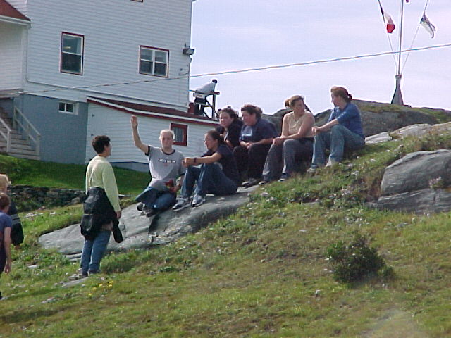
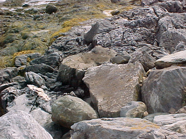
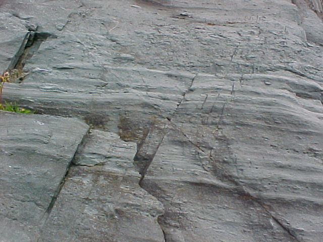
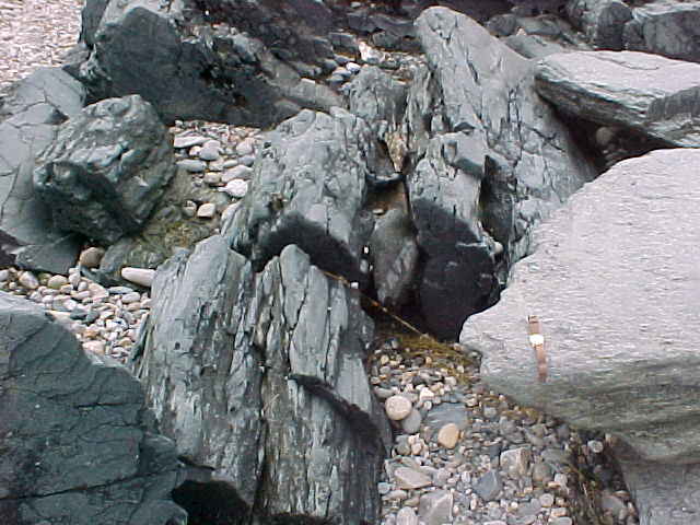
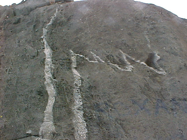
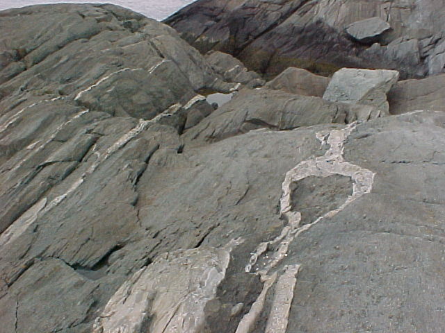
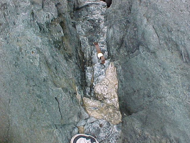
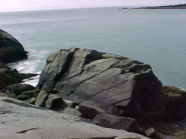
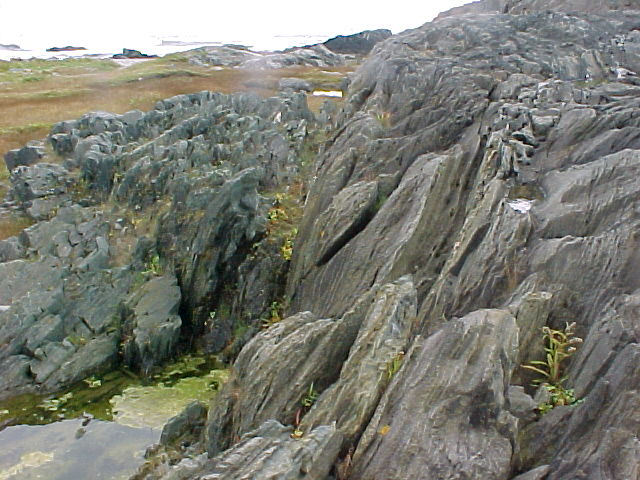
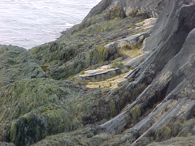
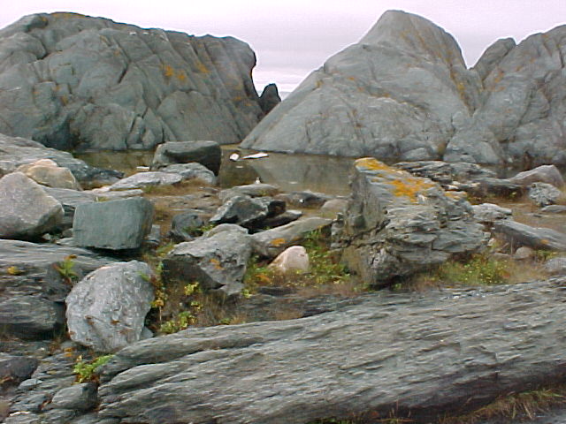
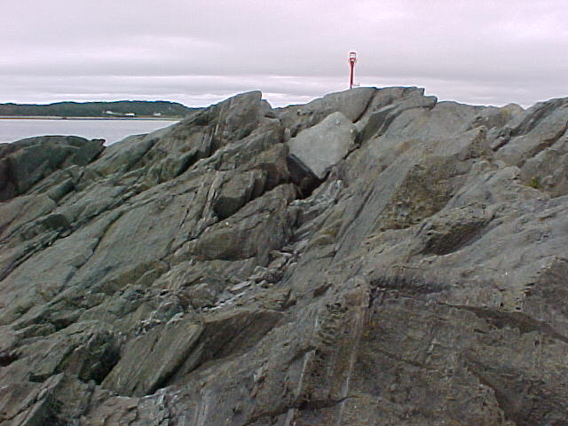
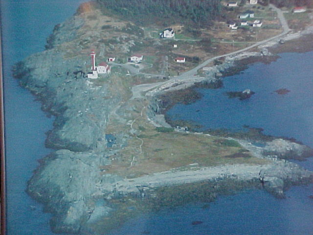
Cape Forchu is both a micro system and a reflection of what is occurring in various locations throughout the world.  In the local community, it is highly regarded, with a well maintained  sea wall, park and other amenities.  It is a place for recreation for both young and old.  Newcomers  to town are often taken first to Cape Forchu so that they may get a feel of what it is like to live in the community. 
Big_Ligthouse.jpg
Yarmouth High Geology Class
Students express pride in the presence of Cape Forchu and lament any changes, such as the closing of the manned lighthouse, that they perceive as being detrimental to the overall environment. Globally, the students are able to relate  to geographical events elsewhere because of their firsthand knowledge of the impact of storms on the land. The volcanic history of the site also facilitates their understanding of eruptions  and the consequences of these eruptions in various parts of the world, thereby extending their awareness, through Global History, of  the issues faced by coastal communities in other parts of the world.
9d_Kids_Hill.jpg
9f_Rock_Road.jpg 9Path.jpg 1Hill.jpg comarant.jpg
Road to tip of Cape Forchu
Area #8 on Map
The road at the top of the hill overlooking False Harbour. Walking along the shore involved climbing some cliffs Cormorant 
Phalacrocorox olivaceous
Known locally as a "Black Duck
Basalt.jpg Basalt is the most common rock type in the Earth's crust (the outer 10 to 50 km). In fact, most of the ocean floor is made of basalt. 

Basaltic magma is commonly produced by direct melting of the Earth's mantle, the region of the Earth below the outer crust. On continents, the mantle begins at depths of 30 to 50 km. 

Common minerals in basalt include olivine, pyroxene,and plagioclase. Basalt is erupted at temperatures between 1100 to1250° C. Picture

2Hill.jpg 9c_Rock_Cliff.jpg 7Rock_Person.jpg 4Rock_Cliff.jpg
Basalt Slabs Broken and Weathered  9c_Rock_Cliff.jpg  Walking along the shore involved climbing some cliffs Rock Cliff 
Basalt Formation
Bombs.jpg Inclusion.jpg Calcite.jpg PillowBasalt.jpg
Volcanic Bombs that hardened in the lava.  Inclusion 
Vocanic Bombs 
Calcite inclusions  Ancient Pillow Basalt 
Veins.jpg Veins2.jpg Thick_Vein.jpg 5Grey_Rock.jpg
Calcite Veins  Calcite Veins 2 Thick Vein  Large Rock
B@salt.jpg Erosion.jpg Basalt2.jpg Light_House.jpg
Layering and cleavage of volcanic rocks  Erosion: Ushaped carvings from the last ice age  Ancient pillow basalt that has been stretched and deformed Cape Forchu


Pictures used with the permission of Gary Deviller YCMHS High School


# Link Comment
1. Nova Scotia Lighthouse Preservation Society
2. The Friends   Of The Yarmouth Light  Society Map of area  |  |
3. Basalt Pictures of Basalt from google

Return to the Cape
Return to Yarmouth Villages
GrassRoutes Internet